

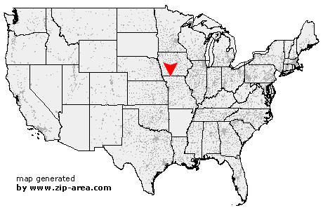
Martinsville
| Category: | City |
| State: | Missouri |
| County: | Harrison |
| Area code: | 660 |
| FIPS code: | 29081 |
| Time zone: | CST |
| ZIP code: | 64467 |
|
calculate distance to another city

|
|
 Using the left mouse click, select the desired location on the map and you will receive a list of cities in the surrounding area. (Embed this map on your website.) |
Add the following HTML-code to your website: <a href="http://www.zip-area.com/missouri/martinsville/" target="_blank"><img src="http://www.zip-area.com/missouri/images/map_martinsville.png" alt="Martinsville"></a> |
Cities close to Martinsville |
|
| Denver (7.63 mi) | Allendale (9.87 mi) |
| Hatfield (9.59 mi) | Martinsville (0.00 mi) |
| Eagleville (11.57 mi) | |