

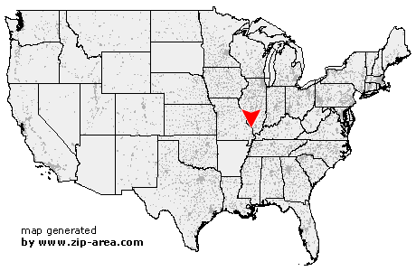
Uniontown
| Category: | City |
| State: | Missouri |
| County: | Perry |
| Area code: | 573 |
| FIPS code: | 29157 |
| Time zone: | CST |
| ZIP code: | 63783 |
|
calculate distance to another city

|
|
 Using the left mouse click, select the desired location on the map and you will receive a list of cities in the surrounding area. (Embed this map on your website.) |
Add the following HTML-code to your website: <a href="http://www.zip-area.com/missouri/uniontown/" target="_blank"><img src="http://www.zip-area.com/missouri/images/map_uniontown.png" alt="Uniontown"></a> |
Cities close to Uniontown |
|
| Friedheim (7.62 mi) | Daisy (8.95 mi) |
| Oak Ridge (5.72 mi) | Uniontown (0.00 mi) |
| Old Appleton (1.36 mi) | Farrar (6.51 mi) |
| Frohna (5.51 mi) | Brazeau (5.05 mi) |
| Pocahontas (8.60 mi) | Altenburg (9.03 mi) |