

Roselle Park
| Category: | City |
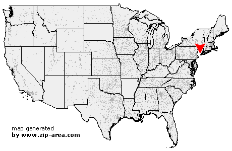
| State: | New Jersey |
| County: | Union |
| Area code: | 908 |
| FIPS code: | 34039 |
| Time zone: | EST |
| ZIP code: | 07204 |
|
calculate distance to another city

|
|
 Using the left mouse click, select the desired location on the map and you will receive a list of cities in the surrounding area. (Embed this map on your website.) |
Add the following HTML-code to your website: <a href="http://www.zip-area.com/new_jersey/roselle_park/" target="_blank"><img src="http://www.zip-area.com/new_jersey/images/map_roselle_park.png" alt="Roselle Park"></a> |
Cities close to Roselle Park |
|
| New Providence (7.49 mi) | Florham Park (10.21 mi) |
| Fanwood (6.45 mi) | Scotch Plains (6.32 mi) |
| Summit (6.16 mi) | Metuchen (9.90 mi) |
| Mountainside (5.01 mi) | Westfield (4.29 mi) |
| Short Hills (6.34 mi) | Livingston (8.94 mi) |
| Springfield (3.83 mi) | Garwood (3.13 mi) |
| Iselin (7.03 mi) | Colonia (5.62 mi) |
| Clark (3.87 mi) | Fords (8.83 mi) |
| Cranford (2.05 mi) | Millburn (4.36 mi) |
| Kenilworth (1.46 mi) | Woodbridge (7.76 mi) |
| Vauxhall (3.74 mi) | Rahway (4.04 mi) |
| Maplewood (4.76 mi) | Perth Amboy (9.87 mi) |
| Avenel (5.68 mi) | Union (2.00 mi) |
| Roselle Park (0.00 mi) | West Orange (8.58 mi) |
| South Orange (5.79 mi) | Roselle (0.93 mi) |
| Sewaren (7.70 mi) | Port Reading (6.78 mi) |
| Linden (3.07 mi) | Orange (7.30 mi) |
| Irvington (4.46 mi) | Carteret (5.88 mi) |
| Hillside (2.89 mi) | East Orange (7.97 mi) |
| Glen Ridge (10.12 mi) | Bloomfield (10.82 mi) |
| Elizabeth (4.61 mi) | Newark (6.36 mi) |
| Belleville (10.49 mi) | Harrison (8.12 mi) |
| North Arlington (11.16 mi) | Kearny (9.85 mi) |