

Vauxhall
| Category: | City |
| State: | New Jersey |
| County: | Union |
| Area code: | 908 |
| FIPS code: | 34039 |
| Time zone: | EST |
| ZIP code: | 07088 |
|
calculate distance to another city

|
|
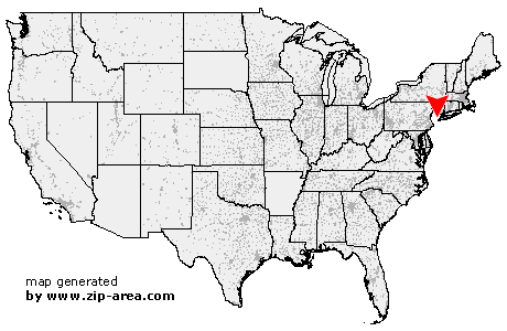 Using the left mouse click, select the desired location on the map and you will receive a list of cities in the surrounding area. (Embed this map on your website.) |
Add the following HTML-code to your website: <a href="http://www.zip-area.com/new_jersey/vauxhall/" target="_blank"><img src="http://www.zip-area.com/new_jersey/images/map_vauxhall.png" alt="Vauxhall"></a> |
Cities close to Vauxhall |
|
| Berkeley Heights (8.11 mi) | Madison (7.72 mi) |
| Whippany (10.03 mi) | Chatham (6.87 mi) |
| South Plainfield (12.01 mi) | New Providence (6.37 mi) |
| Parsippany (11.25 mi) | Florham Park (7.04 mi) |
| Fanwood (7.44 mi) | Scotch Plains (8.21 mi) |
| Summit (4.20 mi) | East Hanover (8.14 mi) |
| Mountainside (4.68 mi) | Westfield (5.73 mi) |
| Short Hills (3.00 mi) | Livingston (5.25 mi) |
| Springfield (2.46 mi) | Garwood (5.02 mi) |
| Colonia (8.77 mi) | Clark (6.83 mi) |
| Roseland (7.23 mi) | Cranford (4.33 mi) |
| Millburn (0.90 mi) | Kenilworth (2.74 mi) |
| Vauxhall (0.00 mi) | Caldwell (9.29 mi) |
| Rahway (7.60 mi) | Essex Fells (7.56 mi) |
| Maplewood (1.21 mi) | Avenel (9.31 mi) |
| Union (1.82 mi) | Roselle Park (3.74 mi) |
| West Orange (5.10 mi) | South Orange (2.51 mi) |
| Roselle (4.67 mi) | Verona (8.26 mi) |
| Linden (6.77 mi) | Orange (4.36 mi) |
| Irvington (2.81 mi) | Carteret (9.61 mi) |
| Hillside (3.26 mi) | Cedar Grove (10.04 mi) |
| Montclair (7.51 mi) | East Orange (5.51 mi) |
| Glen Ridge (7.31 mi) | Bloomfield (8.18 mi) |
| Elizabeth (6.42 mi) | Newark (5.87 mi) |
| Belleville (8.35 mi) | Nutley (9.68 mi) |
| Harrison (7.21 mi) | |