

Weed
| Category: | City |
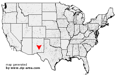
| State: | New Mexico |
| County: | Otero |
| Area code: | 505 |
| FIPS code: | 35035 |
| Time zone: | MST |
| ZIP code: | 88354 |
|
calculate distance to another city

|
|
 Using the left mouse click, select the desired location on the map and you will receive a list of cities in the surrounding area. (Embed this map on your website.) |
Add the following HTML-code to your website: <a href="http://www.zip-area.com/new_mexico/weed/" target="_blank"><img src="http://www.zip-area.com/new_mexico/images/map_weed.png" alt="Weed"></a> |
Cities close to Weed |
|
| Weed (0.00 mi) | Mayhill (7.90 mi) |
| Pinon (9.66 mi) | |