

High Falls
| Category: | City |
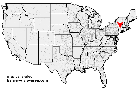
| State: | New York |
| County: | Ulster |
| Area code: | 845 |
| FIPS code: | 36111 |
| Time zone: | EST |
| ZIP code: | 12440 |
|
calculate distance to another city

|
|
 Using the left mouse click, select the desired location on the map and you will receive a list of cities in the surrounding area. (Embed this map on your website.) |
Add the following HTML-code to your website: <a href="http://www.zip-area.com/new_york/high_falls/" target="_blank"><img src="http://www.zip-area.com/new_york/images/map_high_falls.png" alt="High Falls"></a> |
Cities close to High Falls |
|
| Olivebridge (8.60 mi) | Accord (4.48 mi) |
| Gardiner (7.33 mi) | Stone Ridge (5.67 mi) |
| High Falls (0.00 mi) | Modena (10.17 mi) |
| Cottekill (4.39 mi) | Tillson (4.90 mi) |
| Rosendale (5.28 mi) | New Paltz (5.33 mi) |
| Clintondale (9.87 mi) | Kingston (10.67 mi) |
| Bloomington (8.09 mi) | Rifton (6.44 mi) |
| Highland (9.12 mi) | |