

State Road
| Category: | City |
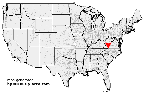
| State: | North Carolina |
| County: | Surry |
| Area code: | 336 |
| FIPS code: | 37171 |
| Time zone: | EST |
| ZIP code: | 28676 |
|
calculate distance to another city

|
|
 Using the left mouse click, select the desired location on the map and you will receive a list of cities in the surrounding area. (Embed this map on your website.) |
Add the following HTML-code to your website: <a href="http://www.zip-area.com/north_carolina/state_road/" target="_blank"><img src="http://www.zip-area.com/north_carolina/images/map_state_road.png" alt="State Road"></a> |
Cities close to State Road |
|
| Traphill (8.39 mi) | Glade Valley (7.85 mi) |
| Roaring Gap (6.55 mi) | Ennice (10.11 mi) |
| Thurmond (3.48 mi) | State Road (0.00 mi) |
| Elkin (6.49 mi) | Lowgap (9.39 mi) |