

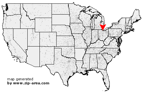
Castalia
| Category: | City |
| State: | Ohio |
| County: | Erie |
| Area code: | 419 |
| FIPS code: | 39043 |
| Time zone: | EST |
| ZIP code: | 44824 |
|
calculate distance to another city

|
|
 Using the left mouse click, select the desired location on the map and you will receive a list of cities in the surrounding area. (Embed this map on your website.) |
Add the following HTML-code to your website: <a href="http://www.zip-area.com/ohio/castalia/" target="_blank"><img src="http://www.zip-area.com/ohio/images/map_castalia.png" alt="Castalia"></a> |
Cities close to Castalia |
|
| Port Clinton (10.93 mi) | Vickery (6.13 mi) |
| Gypsum (8.64 mi) | Flat Rock (10.41 mi) |
| Bellevue (9.70 mi) | Castalia (0.00 mi) |
| Lakeside Marblehead (10.08 mi) | Sandusky (4.72 mi) |