

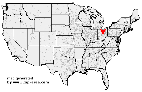
Jacksontown
| Category: | City |
| State: | Ohio |
| County: | Licking |
| Area code: | 740 |
| FIPS code: | 39089 |
| Time zone: | EST |
| ZIP code: | 43030 |
|
calculate distance to another city

|
|
 Using the left mouse click, select the desired location on the map and you will receive a list of cities in the surrounding area. (Embed this map on your website.) |
Add the following HTML-code to your website: <a href="http://www.zip-area.com/ohio/jacksontown/" target="_blank"><img src="http://www.zip-area.com/ohio/images/map_jacksontown.png" alt="Jacksontown"></a> |
Cities close to Jacksontown |
|
| Millersport (7.85 mi) | Thurston (10.37 mi) |
| Granville (10.43 mi) | Hebron (5.53 mi) |
| Pleasantville (10.87 mi) | Buckeye Lake (3.65 mi) |
| Jacksontown (0.00 mi) | Thornville (4.58 mi) |
| Heath (5.62 mi) | Glenford (7.98 mi) |