

Washingtonville
| Category: | City |
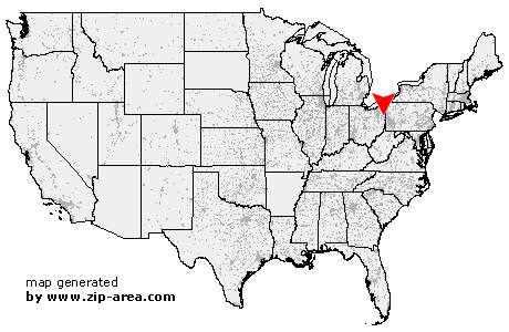
| State: | Ohio |
| County: | Columbiana |
| Area code: | 330 |
| FIPS code: | 39029 |
| Time zone: | EST |
| ZIP code: | 44490 |
|
calculate distance to another city

|
|
 Using the left mouse click, select the desired location on the map and you will receive a list of cities in the surrounding area. (Embed this map on your website.) |
Add the following HTML-code to your website: <a href="http://www.zip-area.com/ohio/washingtonville/" target="_blank"><img src="http://www.zip-area.com/ohio/images/map_washingtonville.png" alt="Washingtonville"></a> |
Cities close to Washingtonville |
|
| Winona (8.54 mi) | Hanoverton (11.89 mi) |
| Salem (5.97 mi) | Ellsworth (10.19 mi) |
| Greenford (3.64 mi) | Canfield (7.51 mi) |
| Washingtonville (0.00 mi) | Leetonia (3.30 mi) |
| Elkton (9.87 mi) | Columbiana (4.10 mi) |
| North Lima (5.80 mi) | New Waterford (7.97 mi) |