

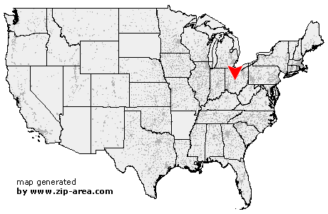
Westerville
| Category: | City |
| State: | Ohio |
| County: | Franklin |
| Area code: | 614 |
| FIPS code: | 39049 |
| Time zone: | EST |
| ZIP codes: | 43081, 43086 |
|
calculate distance to another city

|
|
 Using the left mouse click, select the desired location on the map and you will receive a list of cities in the surrounding area. (Embed this map on your website.) |
Add the following HTML-code to your website: <a href="http://www.zip-area.com/ohio/westerville/" target="_blank"><img src="http://www.zip-area.com/ohio/images/map_westerville.png" alt="Westerville"></a> |
Cities close to Westerville |
|
| Columbus (5.38 mi) | Columbus (3.71 mi) |
| Lewis Center (5.50 mi) | Westerville (2.59 mi) |
| Westerville (0.00 mi) | Galena (6.06 mi) |
| Blacklick (9.50 mi) | New Albany (6.75 mi) |