

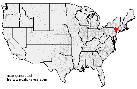
Montgomeryville
| Category: | City |
| State: | Pennsylvania |
| County: | Montgomery |
| Area code: | 215 |
| FIPS code: | 42091 |
| Time zone: | EST |
| ZIP code: | 18936 |
|
calculate distance to another city

|
|
 Using the left mouse click, select the desired location on the map and you will receive a list of cities in the surrounding area. (Embed this map on your website.) |
Add the following HTML-code to your website: <a href="http://www.zip-area.com/pennsylvania/montgomeryville/" target="_blank"><img src="http://www.zip-area.com/pennsylvania/images/map_montgomeryville.png" alt="Montgomeryville"></a> |
Cities close to Montgomeryville |
|
| Cedars (7.61 mi) | Mainland (7.04 mi) |
| Worcester (6.76 mi) | Sellersville (11.18 mi) |
| Franconia (7.88 mi) | Bridgeport (11.06 mi) |
| Kulpsville (5.70 mi) | Souderton (6.88 mi) |
| Norristown (9.11 mi) | West Point (4.37 mi) |
| Lansdale (3.78 mi) | Hatfield (4.43 mi) |
| Blue Bell (6.23 mi) | Silverdale (7.81 mi) |
| Plymouth Meeting (9.11 mi) | Line Lexington (4.28 mi) |
| Colmar (2.72 mi) | Gwynedd Valley (4.03 mi) |
| Blooming Glen (9.10 mi) | North Wales (1.30 mi) |
| Gwynedd (2.50 mi) | Montgomeryville (0.00 mi) |
| Spring House (3.66 mi) | Hilltown (6.49 mi) |
| Flourtown (9.04 mi) | Ambler (3.99 mi) |
| Chalfont (3.59 mi) | Fort Washington (7.35 mi) |
| Dublin (9.36 mi) | Oreland (8.89 mi) |
| Glenside (9.96 mi) | Dresher (7.43 mi) |
| Horsham (5.31 mi) | Fountainville (8.01 mi) |
| Warrington (4.60 mi) | Danboro (9.45 mi) |
| Abington (9.48 mi) | Willow Grove (8.46 mi) |
| Doylestown (8.89 mi) | Gardenville (11.21 mi) |
| Jenkintown (11.31 mi) | Hatboro (7.75 mi) |
| Jamison (7.47 mi) | |