

Plumsteadville
| Category: | City |
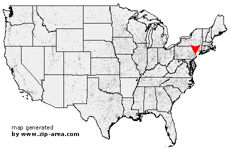
| State: | Pennsylvania |
| County: | Bucks |
| Area code: | 215 |
| FIPS code: | 42017 |
| Time zone: | EST |
| ZIP code: | 18949 |
|
calculate distance to another city

|
|
 Using the left mouse click, select the desired location on the map and you will receive a list of cities in the surrounding area. (Embed this map on your website.) |
Add the following HTML-code to your website: <a href="http://www.zip-area.com/pennsylvania/plumsteadville/" target="_blank"><img src="http://www.zip-area.com/pennsylvania/images/map_plumsteadville.png" alt="Plumsteadville"></a> |
Cities close to Plumsteadville |
|
| Silverdale (7.18 mi) | Line Lexington (8.78 mi) |
| Colmar (9.85 mi) | Blooming Glen (5.51 mi) |
| Perkasie (4.55 mi) | Hilltown (5.43 mi) |
| Chalfont (7.61 mi) | Dublin (3.19 mi) |
| Bedminster (3.14 mi) | Revere (8.88 mi) |
| Ottsville (5.19 mi) | Fountainville (3.37 mi) |
| Plumsteadville (0.00 mi) | Warrington (9.66 mi) |
| Danboro (2.37 mi) | Doylestown (3.77 mi) |
| Gardenville (2.28 mi) | Pipersville (3.76 mi) |
| Jamison (9.76 mi) | Erwinna (8.69 mi) |
| Furlong (8.65 mi) | Point Pleasant (4.88 mi) |
| Mechanicsville (5.09 mi) | Buckingham (6.32 mi) |
| Forest Grove (8.01 mi) | Carversville (5.38 mi) |
| Lumberville (5.86 mi) | Holicong (6.80 mi) |
| Lahaska (6.68 mi) | Rushland (10.79 mi) |
| Frenchtown (10.78 mi) | Wycombe (9.88 mi) |
| Solebury (7.29 mi) | Baptistown (11.85 mi) |
| Pineville (9.72 mi) | |