

Walnutport
| Category: | City |
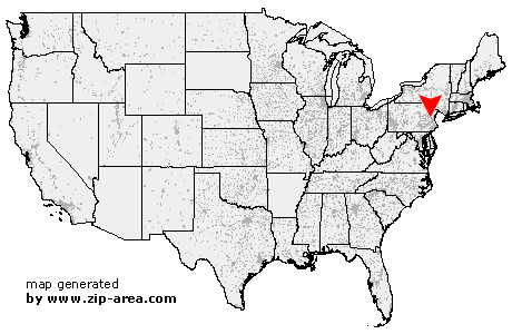
| State: | Pennsylvania |
| County: | Northampton |
| Area code: | 610 |
| FIPS code: | 42095 |
| Time zone: | EST |
| ZIP code: | 18088 |
|
calculate distance to another city

|
|
 Using the left mouse click, select the desired location on the map and you will receive a list of cities in the surrounding area. (Embed this map on your website.) |
Add the following HTML-code to your website: <a href="http://www.zip-area.com/pennsylvania/walnutport/" target="_blank"><img src="http://www.zip-area.com/pennsylvania/images/map_walnutport.png" alt="Walnutport"></a> |
Cities close to Walnutport |
|
| Parryville (7.08 mi) | Bowmanstown (5.89 mi) |
| Slatedale (5.33 mi) | Slatington (4.49 mi) |
| Schnecksville (7.38 mi) | Orefield (10.37 mi) |
| Neffs (5.39 mi) | Aquashicola (3.55 mi) |
| Palmerton (4.53 mi) | Walnutport (0.00 mi) |
| Coplay (5.41 mi) | Laurys Station (3.14 mi) |
| Treichlers (2.31 mi) | Cherryville (1.70 mi) |
| Kresgeville (9.48 mi) | Whitehall (8.08 mi) |
| Northampton (5.34 mi) | Danielsville (4.73 mi) |
| Kunkletown (9.68 mi) | Catasauqua (8.91 mi) |
| Lehigh Valley (10.68 mi) | Gilbert (11.76 mi) |