

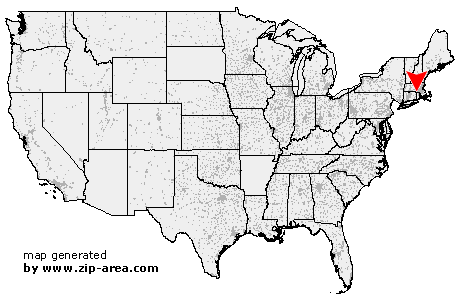
Pascoag
| Category: | City |
| State: | Rhode Island |
| County: | Providence |
| Area code: | 401 |
| FIPS code: | 44007 |
| Time zone: | EST |
| ZIP code: | 02859 |
|
calculate distance to another city

|
|
 Using the left mouse click, select the desired location on the map and you will receive a list of cities in the surrounding area. (Embed this map on your website.) |
Add the following HTML-code to your website: <a href="http://www.zip-area.com/rhode_island/pascoag/" target="_blank"><img src="http://www.zip-area.com/rhode_island/images/map_pascoag.png" alt="Pascoag"></a> |
Cities close to Pascoag |
|
| Putnam (8.14 mi) | Ballouville (9.11 mi) |
| Dayville (9.71 mi) | Webster (7.87 mi) |
| Thompson (4.88 mi) | East Killingly (9.35 mi) |
| Douglas (5.62 mi) | Manchaug (8.49 mi) |
| Pascoag (0.00 mi) | Chepachet (4.93 mi) |
| Forestdale (2.68 mi) | Harrisville (4.58 mi) |
| Linwood (9.91 mi) | North Uxbridge (9.44 mi) |
| Oakland (5.08 mi) | Mapleville (5.55 mi) |
| Uxbridge (7.96 mi) | Glendale (5.45 mi) |
| North Scituate (11.04 mi) | Harmony (9.32 mi) |