

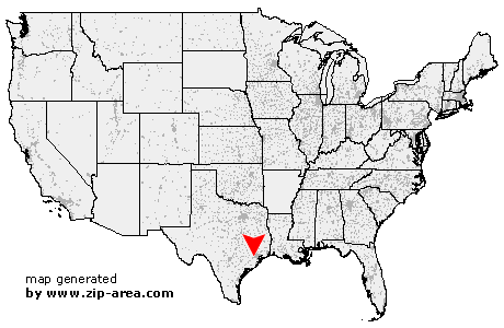
Stafford
| Category: | City |
| State: | Texas |
| County: | Fort Bend |
| Area code: | 281 |
| FIPS code: | 48157 |
| Time zone: | CST |
| ZIP codes: | 77477, 77497 |
|
calculate distance to another city

|
|
 Using the left mouse click, select the desired location on the map and you will receive a list of cities in the surrounding area. (Embed this map on your website.) |
Add the following HTML-code to your website: <a href="http://www.zip-area.com/texas/stafford/" target="_blank"><img src="http://www.zip-area.com/texas/images/map_stafford.png" alt="Stafford"></a> |
Cities close to Stafford |
|
| Sugar Land (4.05 mi) | Alief (6.25 mi) |
| Stafford (0.00 mi) | Missouri City (5.72 mi) |
| Fresno (8.44 mi) | Bellaire (8.21 mi) |
| Houston (6.77 mi) | |