

Jolo
| Category: | City |
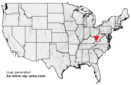
| State: | West Virginia |
| County: | McDowell |
| Area code: | 304 |
| FIPS code: | 54047 |
| Time zone: | EST |
| ZIP code: | 24850 |
|
calculate distance to another city

|
|
 Using the left mouse click, select the desired location on the map and you will receive a list of cities in the surrounding area. (Embed this map on your website.) |
Add the following HTML-code to your website: <a href="http://www.zip-area.com/west_virginia/jolo/" target="_blank"><img src="http://www.zip-area.com/west_virginia/images/map_jolo.png" alt="Jolo"></a> |
Cities close to Jolo |
|
| Pilgrims Knob (4.49 mi) | Whitewood (5.50 mi) |
| Jolo (0.00 mi) | Jewell Ridge (7.28 mi) |
| Iaeger (8.18 mi) | Bradshaw (2.41 mi) |
| Avondale (6.25 mi) | Raysal (2.97 mi) |
| Bartley (5.36 mi) | Roderfield (10.86 mi) |
| Hensley (12.29 mi) | Big Sandy (11.84 mi) |
| Warriormine (8.00 mi) | Yukon (7.63 mi) |
| War (8.14 mi) | |