

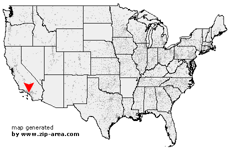
La Palma
| Category: | City |
| State: | California |
| County: | Orange |
| Area code: | 714 |
| FIPS code: | 06059 |
| Time zone: | PST |
| ZIP code: | 90623 |
|
calculate distance to another city

|
|
 Using the left mouse click, select the desired location on the map and you will receive a list of cities in the surrounding area. (Embed this map on your website.) |
Add the following HTML-code to your website: <a href="http://www.zip-area.com/california/la_palma/" target="_blank"><img src="http://www.zip-area.com/california/images/map_la_palma.png" alt="La Palma"></a> |
Cities close to La Palma |
|
| Long Beach (9.80 mi) | Bell (11.71 mi) |
| Paramount (7.74 mi) | Signal Hill (7.79 mi) |
| Bell Gardens (10.20 mi) | Lakewood (6.08 mi) |
| Downey (8.10 mi) | Bellflower (5.58 mi) |
| Pico Rivera (10.03 mi) | Surfside (8.80 mi) |
| Norwalk (4.56 mi) | Artesia (2.60 mi) |
| Hawaiian Gardens (2.34 mi) | Sunset Beach (9.36 mi) |
| Seal Beach (6.89 mi) | Cerritos (1.94 mi) |
| Los Alamitos (4.10 mi) | Santa Fe Springs (6.10 mi) |
| La Palma (0.00 mi) | Cypress (2.26 mi) |
| Buena Park (1.75 mi) | La Mirada (3.83 mi) |
| Stanton (4.24 mi) | Westminster (7.33 mi) |
| Midway City (7.96 mi) | Anaheim (5.06 mi) |
| La Habra (8.14 mi) | Fountain Valley (10.96 mi) |
| Garden Grove (7.67 mi) | Rowland Heights (12.29 mi) |
| Fullerton (8.56 mi) | |