

La Habra
| Category: | City |
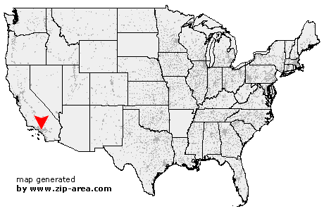
| State: | California |
| County: | Orange |
| Area code: | 562 |
| FIPS code: | 06059 |
| Time zone: | PST |
| ZIP codes: | 90631, 90632, 90633 |
|
calculate distance to another city

|
|
 Using the left mouse click, select the desired location on the map and you will receive a list of cities in the surrounding area. (Embed this map on your website.) |
Add the following HTML-code to your website: <a href="http://www.zip-area.com/california/la_habra/" target="_blank"><img src="http://www.zip-area.com/california/images/map_la_habra.png" alt="La Habra"></a> |
Cities close to La Habra |
|
| Pico Rivera (8.61 mi) | Rosemead (11.31 mi) |
| Norwalk (7.84 mi) | Artesia (9.00 mi) |
| Hawaiian Gardens (10.42 mi) | Cerritos (8.42 mi) |
| Santa Fe Springs (6.49 mi) | South El Monte (9.22 mi) |
| La Palma (8.14 mi) | Cypress (9.94 mi) |
| Whittier (6.52 mi) | El Monte (10.40 mi) |
| Buena Park (7.46 mi) | La Mirada (4.32 mi) |
| Stanton (9.97 mi) | Hacienda Heights (3.94 mi) |
| City of Industry (5.37 mi) | Anaheim (6.70 mi) |
| La Habra (0.00 mi) | West Covina (8.65 mi) |
| La Puente (6.06 mi) | Rowland Heights (4.16 mi) |
| Fullerton (5.40 mi) | Brea (4.72 mi) |
| Walnut (7.25 mi) | Placentia (7.01 mi) |
| Atwood (8.76 mi) | Diamond Bar (8.64 mi) |
| Villa Park (11.84 mi) | |