

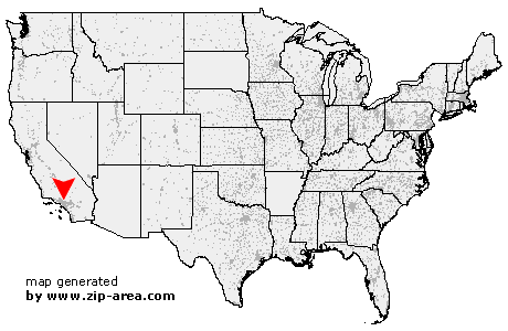
Monrovia
| Category: | City |
| State: | California |
| County: | Los Angeles |
| Area code: | 626 |
| FIPS code: | 06037 |
| Time zone: | PST |
| ZIP codes: | 91016, 91017 |
|
calculate distance to another city

|
|
 Using the left mouse click, select the desired location on the map and you will receive a list of cities in the surrounding area. (Embed this map on your website.) |
Add the following HTML-code to your website: <a href="http://www.zip-area.com/california/monrovia/" target="_blank"><img src="http://www.zip-area.com/california/images/map_monrovia.png" alt="Monrovia"></a> |
Cities close to Monrovia |
|
| Alhambra (9.86 mi) | San Marino (8.12 mi) |
| La Canada Flintridge (8.29 mi) | San Gabriel (7.14 mi) |
| Rosemead (9.13 mi) | Mount Wilson (6.21 mi) |
| Temple City (6.15 mi) | South El Monte (9.24 mi) |
| Sierra Madre (3.83 mi) | El Monte (6.89 mi) |
| Arcadia (3.29 mi) | Monrovia (0.00 mi) |
| Duarte (1.96 mi) | Baldwin Park (5.13 mi) |
| West Covina (7.43 mi) | La Puente (9.94 mi) |
| Azusa (4.59 mi) | Covina (6.51 mi) |
| Valyermo (9.77 mi) | Glendora (8.12 mi) |