

Rosemead
| Category: | City |
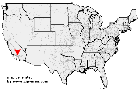
| State: | California |
| County: | Los Angeles |
| Area code: | 626 |
| FIPS code: | 06037 |
| Time zone: | PST |
| ZIP codes: | 91770, 91771, 91772 |
|
calculate distance to another city

|
|
 Using the left mouse click, select the desired location on the map and you will receive a list of cities in the surrounding area. (Embed this map on your website.) |
Add the following HTML-code to your website: <a href="http://www.zip-area.com/california/rosemead/" target="_blank"><img src="http://www.zip-area.com/california/images/map_rosemead.png" alt="Rosemead"></a> |
Cities close to Rosemead |
|
| Huntington Park (9.77 mi) | South Gate (10.50 mi) |
| Lynwood (11.82 mi) | Maywood (7.97 mi) |
| Bell (8.74 mi) | South Pasadena (5.32 mi) |
| Bell Gardens (7.90 mi) | Monterey Park (3.61 mi) |
| Altadena (9.59 mi) | Downey (9.05 mi) |
| Alhambra (3.14 mi) | San Marino (4.36 mi) |
| Montebello (3.68 mi) | Pico Rivera (5.21 mi) |
| San Gabriel (3.46 mi) | Rosemead (0.00 mi) |
| Santa Fe Springs (8.92 mi) | Temple City (3.02 mi) |
| South El Monte (2.16 mi) | Sierra Madre (7.44 mi) |
| Whittier (4.83 mi) | El Monte (2.98 mi) |
| Arcadia (5.97 mi) | Monrovia (9.13 mi) |
| Duarte (7.98 mi) | Hacienda Heights (7.77 mi) |
| Baldwin Park (6.72 mi) | City of Industry (7.80 mi) |
| La Habra (11.31 mi) | West Covina (8.30 mi) |