

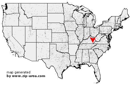
Pathfork
| Category: | City |
| State: | Kentucky |
| County: | Harlan |
| Area code: | 606 |
| FIPS code: | 21095 |
| Time zone: | EST |
| ZIP code: | 40863 |
|
calculate distance to another city

|
|
 Using the left mouse click, select the desired location on the map and you will receive a list of cities in the surrounding area. (Embed this map on your website.) |
Add the following HTML-code to your website: <a href="http://www.zip-area.com/kentucky/pathfork/" target="_blank"><img src="http://www.zip-area.com/kentucky/images/map_pathfork.png" alt="Pathfork"></a> |
Cities close to Pathfork |
|
| Kettle Island (8.62 mi) | Hulen (4.08 mi) |
| Stoney Fork (10.54 mi) | Ewing (8.89 mi) |
| Pathfork (0.00 mi) | Coldiron (8.79 mi) |
| Wallins Creek (4.63 mi) | Mary Alice (3.33 mi) |
| Dayhoit (8.38 mi) | Loyall (9.47 mi) |
| Rose Hill (9.63 mi) | Gulston (7.52 mi) |
| Grays Knob (8.04 mi) | Baxter (11.64 mi) |