

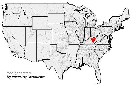
Kettle Island
| Category: | City |
| State: | Kentucky |
| County: | Bell |
| Area code: | 606 |
| FIPS code: | 21013 |
| Time zone: | EST |
| ZIP code: | 40958 |
|
calculate distance to another city

|
|
 Using the left mouse click, select the desired location on the map and you will receive a list of cities in the surrounding area. (Embed this map on your website.) |
Add the following HTML-code to your website: <a href="http://www.zip-area.com/kentucky/kettle_island/" target="_blank"><img src="http://www.zip-area.com/kentucky/images/map_kettle_island.png" alt="Kettle Island"></a> |
Cities close to Kettle Island |
|
| Scalf (11.40 mi) | Pineville (8.11 mi) |
| Walker (6.38 mi) | Arjay (3.83 mi) |
| Miracle (4.78 mi) | Kettle Island (0.00 mi) |
| Beverly (8.26 mi) | Hulen (5.74 mi) |
| Stoney Fork (5.62 mi) | Pathfork (8.62 mi) |
| Warbranch (12.14 mi) | Coldiron (8.53 mi) |