

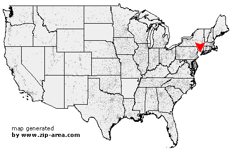
Roseland
| Category: | City |
| State: | New Jersey |
| County: | Essex |
| Area code: | 973 |
| FIPS code: | 34013 |
| Time zone: | EST |
| ZIP code: | 07068 |
|
calculate distance to another city

|
|
 Using the left mouse click, select the desired location on the map and you will receive a list of cities in the surrounding area. (Embed this map on your website.) |
Add the following HTML-code to your website: <a href="http://www.zip-area.com/new_jersey/roseland/" target="_blank"><img src="http://www.zip-area.com/new_jersey/images/map_roseland.png" alt="Roseland"></a> |
Cities close to Roseland |
|
| Mountain Lakes (8.41 mi) | Madison (7.22 mi) |
| Boonton (9.51 mi) | Whippany (5.79 mi) |
| Chatham (8.58 mi) | New Providence (9.89 mi) |
| Parsippany (5.32 mi) | Florham Park (5.37 mi) |
| Lake Hiawatha (5.72 mi) | Montville (7.23 mi) |
| Summit (7.92 mi) | East Hanover (2.90 mi) |
| Mountainside (10.02 mi) | Towaco (7.71 mi) |
| Pine Brook (3.68 mi) | Short Hills (5.52 mi) |
| Livingston (2.65 mi) | Springfield (8.46 mi) |
| Roseland (0.00 mi) | Fairfield (4.28 mi) |
| Lincoln Park (7.13 mi) | Millburn (6.77 mi) |
| Pequannock (8.75 mi) | Kenilworth (9.91 mi) |
| Vauxhall (7.23 mi) | Caldwell (2.58 mi) |
| Essex Fells (1.58 mi) | Maplewood (6.24 mi) |
| Union (8.98 mi) | West Orange (3.22 mi) |
| South Orange (5.56 mi) | Wayne (9.43 mi) |
| Verona (3.51 mi) | Orange (5.29 mi) |
| Irvington (7.78 mi) | Hillside (9.56 mi) |
| Cedar Grove (4.84 mi) | Totowa (7.36 mi) |
| Montclair (4.77 mi) | East Orange (6.30 mi) |
| Little Falls (6.91 mi) | Glen Ridge (5.57 mi) |
| Bloomfield (6.41 mi) | Haledon (11.28 mi) |
| Newark (9.74 mi) | Paterson (9.60 mi) |