

Brooklyn
| Category: | City |
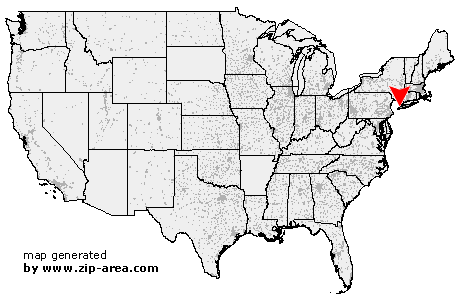
| State: | New York |
| County: | Kings |
| Area code: | 718 |
| FIPS code: | 36047 |
| Time zone: | EST |
| ZIP codes: | 11201, 11202, 11203, 11204, 11205, 11206, 11207, 11208, 11209, 11210, 11211, 11212, 11213, 11214, 11215, 11216, 11217, 11218, 11219, 11220, 11221, 11222, 11223, 11224, 11225, 11226, 11228, 11229, 11230, 11231, 11232, 11233, 11234, 11235, 11236, 11237, 11238, 11239, 11240, 11241, 11242, 11243, 11244, 11245, 11247, 11248, 11249, 11251, 11252, 11254, 11255, 11256 |
|
calculate distance to another city

|
|
 Using the left mouse click, select the desired location on the map and you will receive a list of cities in the surrounding area. (Embed this map on your website.) |
Add the following HTML-code to your website: <a href="http://www.zip-area.com/new_york/brooklyn/" target="_blank"><img src="http://www.zip-area.com/new_york/images/map_brooklyn.png" alt="Brooklyn"></a> |
Cities close to Brooklyn |
|
| North Arlington (9.59 mi) | Kearny (8.10 mi) |
| Lyndhurst (9.50 mi) | Bayonne (6.65 mi) |
| Rutherford (11.03 mi) | Staten Island (6.92 mi) |
| Jersey City (5.15 mi) | East Rutherford (9.31 mi) |
| Secaucus (7.14 mi) | Carlstadt (9.82 mi) |
| Union City (5.62 mi) | Hoboken (4.14 mi) |
| North Bergen (7.09 mi) | Weehawken (5.40 mi) |
| Ridgefield (9.54 mi) | West New York (6.55 mi) |
| Fairview (8.57 mi) | New York (3.86 mi) |
| Brooklyn (0.00 mi) | Cliffside Park (8.82 mi) |
| Edgewater (8.80 mi) | Long Island City (4.51 mi) |
| Astoria (6.30 mi) | Bronx (9.40 mi) |
| Sunnyside (5.02 mi) | Breezy Point (10.23 mi) |
| Maspeth (4.81 mi) | Woodside (5.61 mi) |
| Ridgewood (5.31 mi) | Jackson Heights (6.83 mi) |
| Middle Village (5.98 mi) | Elmhurst (6.54 mi) |
| East Elmhurst (7.84 mi) | Rego Park (7.08 mi) |
| Woodhaven (6.88 mi) | Corona (8.12 mi) |
| Rockaway Park (11.00 mi) | Ozone Park (7.38 mi) |