

Rego Park
| Category: | City |
| State: | New York |
| County: | Queens |
| Area code: | 718 |
| FIPS code: | 36081 |
| Time zone: | EST |
| ZIP code: | 11374 |
|
calculate distance to another city

|
|
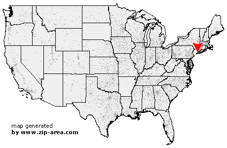 Using the left mouse click, select the desired location on the map and you will receive a list of cities in the surrounding area. (Embed this map on your website.) |
Add the following HTML-code to your website: <a href="http://www.zip-area.com/new_york/rego_park/" target="_blank"><img src="http://www.zip-area.com/new_york/images/map_rego_park.png" alt="Rego Park"></a> |
Cities close to Rego Park |
|
| Fairview (9.78 mi) | New York (7.28 mi) |
| Palisades Park (10.94 mi) | Brooklyn (7.08 mi) |
| Leonia (11.66 mi) | Cliffside Park (9.40 mi) |
| Edgewater (9.07 mi) | Fort Lee (10.42 mi) |
| Long Island City (4.29 mi) | Astoria (4.64 mi) |
| Bronx (7.35 mi) | Sunnyside (3.36 mi) |
| Maspeth (2.39 mi) | Woodside (2.63 mi) |
| Ridgewood (2.24 mi) | Jackson Heights (2.14 mi) |
| Middle Village (1.17 mi) | Elmhurst (1.22 mi) |
| East Elmhurst (2.64 mi) | Rego Park (0.00 mi) |
| Woodhaven (2.22 mi) | Corona (1.71 mi) |
| Ozone Park (2.90 mi) | Forest Hills (0.88 mi) |
| Howard Beach (4.74 mi) | College Point (4.23 mi) |
| Richmond Hill (2.23 mi) | Kew Gardens (2.03 mi) |
| Flushing (2.75 mi) | South Richmond Hill (3.24 mi) |
| South Ozone Park (4.29 mi) | Whitestone (4.96 mi) |
| Arverne (9.74 mi) | Fresh Meadows (3.70 mi) |
| Jamaica (4.30 mi) | Bayside (6.41 mi) |
| Hollis (4.89 mi) | Far Rockaway (10.16 mi) |
| Inwood (8.93 mi) | Saint Albans (5.69 mi) |
| Oakland Gardens (5.62 mi) | Springfield Gardens (6.86 mi) |
| Queens Village (5.95 mi) | Rosedale (7.90 mi) |
| Cambria Heights (6.91 mi) | Little Neck (7.02 mi) |
| Atlantic Beach (11.73 mi) | Cedarhurst (9.65 mi) |
| Bellerose (7.30 mi) | Floral Park (7.77 mi) |