

College Point
| Category: | City |
| State: | New York |
| County: | Queens |
| Area code: | 718 |
| FIPS code: | 36081 |
| Time zone: | EST |
| ZIP code: | 11356 |
|
calculate distance to another city

|
|
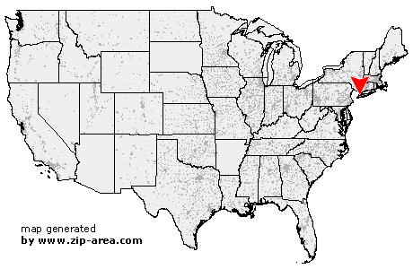 Using the left mouse click, select the desired location on the map and you will receive a list of cities in the surrounding area. (Embed this map on your website.) |
Add the following HTML-code to your website: <a href="http://www.zip-area.com/new_york/college_point/" target="_blank"><img src="http://www.zip-area.com/new_york/images/map_college_point.png" alt="College Point"></a> |
Cities close to College Point |
|
| Edgewater (7.67 mi) | Englewood (10.13 mi) |
| Fort Lee (8.26 mi) | Tenafly (11.04 mi) |
| Englewood Cliffs (8.92 mi) | Long Island City (5.73 mi) |
| Astoria (4.53 mi) | Bronx (4.97 mi) |
| Sunnyside (5.00 mi) | Maspeth (5.43 mi) |
| Woodside (4.38 mi) | Ridgewood (6.32 mi) |
| Jackson Heights (3.20 mi) | Middle Village (5.19 mi) |
| Elmhurst (3.82 mi) | East Elmhurst (2.16 mi) |
| Rego Park (4.23 mi) | Woodhaven (6.38 mi) |
| Corona (2.52 mi) | Ozone Park (6.94 mi) |
| Forest Hills (4.28 mi) | Howard Beach (8.76 mi) |
| College Point (0.00 mi) | Mount Vernon (8.39 mi) |
| Richmond Hill (5.85 mi) | Kew Gardens (5.34 mi) |
| Flushing (2.17 mi) | South Richmond Hill (6.72 mi) |
| South Ozone Park (7.82 mi) | Whitestone (1.58 mi) |
| Pelham (8.18 mi) | Fresh Meadows (4.03 mi) |
| Jamaica (6.58 mi) | New Rochelle (9.68 mi) |
| Bayside (3.45 mi) | Hollis (6.02 mi) |
| Saint Albans (7.39 mi) | Oakland Gardens (5.15 mi) |
| Springfield Gardens (9.10 mi) | Queens Village (6.16 mi) |
| Rosedale (10.20 mi) | Cambria Heights (8.32 mi) |
| Little Neck (5.83 mi) | Bellerose (7.04 mi) |
| Floral Park (6.63 mi) | Glen Oaks (7.23 mi) |
| Great Neck (6.90 mi) | Elmont (9.07 mi) |
| Valley Stream (10.46 mi) | Floral Park (8.37 mi) |