

Pelham
| Category: | City |
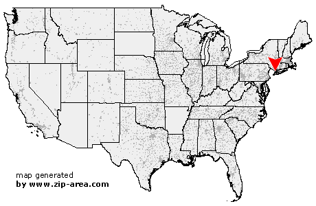
| State: | New York |
| County: | Westchester |
| Area code: | 914 |
| FIPS code: | 36119 |
| Time zone: | EST |
| ZIP code: | 10803 |
|
calculate distance to another city

|
|
 Using the left mouse click, select the desired location on the map and you will receive a list of cities in the surrounding area. (Embed this map on your website.) |
Add the following HTML-code to your website: <a href="http://www.zip-area.com/new_york/pelham/" target="_blank"><img src="http://www.zip-area.com/new_york/images/map_pelham.png" alt="Pelham"></a> |
Cities close to Pelham |
|
| Norwood (9.92 mi) | Englewood Cliffs (7.61 mi) |
| Tappan (11.52 mi) | Northvale (10.25 mi) |
| Astoria (10.86 mi) | Alpine (7.58 mi) |
| Bronx (8.21 mi) | Sparkill (10.31 mi) |
| Piermont (11.19 mi) | Palisades (9.83 mi) |
| Yonkers (4.89 mi) | Ardsley on Hudson (9.47 mi) |
| Hastings on Hudson (7.04 mi) | East Elmhurst (10.05 mi) |
| Dobbs Ferry (8.33 mi) | Irvington (9.98 mi) |
| Ardsley (7.61 mi) | College Point (8.18 mi) |
| Mount Vernon (1.56 mi) | Bronxville (2.97 mi) |
| Flushing (10.06 mi) | Tuckahoe (3.90 mi) |
| Whitestone (7.87 mi) | Hartsdale (8.29 mi) |
| Eastchester (3.70 mi) | Pelham (0.00 mi) |
| Scarsdale (6.18 mi) | New Rochelle (1.68 mi) |
| Bayside (7.65 mi) | White Plains (9.42 mi) |
| Larchmont (3.64 mi) | Mamaroneck (5.12 mi) |
| Little Neck (10.43 mi) | Harrison (6.92 mi) |
| Floral Park (10.80 mi) | Purchase (10.84 mi) |
| Great Neck (10.27 mi) | Rye (7.99 mi) |
| Port Washington (7.37 mi) | Manhasset (9.61 mi) |
| Port Chester (10.39 mi) | |