

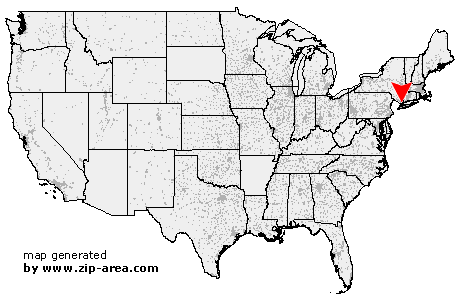
Port Chester
| Category: | City |
| State: | New York |
| County: | Westchester |
| Area code: | 914 |
| FIPS code: | 36119 |
| Time zone: | EST |
| ZIP code: | 10573 |
|
calculate distance to another city

|
|
 Using the left mouse click, select the desired location on the map and you will receive a list of cities in the surrounding area. (Embed this map on your website.) |
Add the following HTML-code to your website: <a href="http://www.zip-area.com/new_york/port_chester/" target="_blank"><img src="http://www.zip-area.com/new_york/images/map_port_chester.png" alt="Port Chester"></a> |
Cities close to Port Chester |
|
| Tuckahoe (8.46 mi) | Elmsford (8.01 mi) |
| Hartsdale (6.90 mi) | Eastchester (8.02 mi) |
| Pelham (10.39 mi) | Hawthorne (8.64 mi) |
| Scarsdale (6.34 mi) | Pleasantville (9.97 mi) |
| New Rochelle (8.71 mi) | Valhalla (7.41 mi) |
| Thornwood (8.55 mi) | White Plains (4.83 mi) |
| Larchmont (6.76 mi) | West Harrison (4.55 mi) |
| Mamaroneck (5.28 mi) | Harrison (3.49 mi) |
| Purchase (2.60 mi) | Armonk (8.46 mi) |
| Rye (2.55 mi) | Port Chester (0.00 mi) |
| Glen Cove (10.32 mi) | Greenwich (3.72 mi) |
| Cos Cob (5.54 mi) | Locust Valley (10.22 mi) |
| Riverside (5.09 mi) | Old Greenwich (5.77 mi) |
| Mill Neck (10.98 mi) | Stamford (7.69 mi) |
| Bayville (10.62 mi) | |