

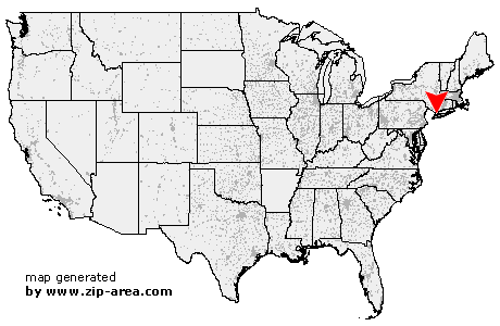
Port Washington
| Category: | City |
| State: | New York |
| County: | Nassau |
| Area code: | 516 |
| FIPS code: | 36059 |
| Time zone: | EST |
| ZIP codes: | 11050, 11051, 11052, 11053, 11054, 11055 |
|
calculate distance to another city

|
|
 Using the left mouse click, select the desired location on the map and you will receive a list of cities in the surrounding area. (Embed this map on your website.) |
Add the following HTML-code to your website: <a href="http://www.zip-area.com/new_york/port_washington/" target="_blank"><img src="http://www.zip-area.com/new_york/images/map_port_washington.png" alt="Port Washington"></a> |
Cities close to Port Washington |
|
| Mount Vernon (8.85 mi) | Richmond Hill (12.17 mi) |
| Bronxville (10.05 mi) | Kew Gardens (11.60 mi) |
| Flushing (9.14 mi) | Tuckahoe (10.48 mi) |
| Whitestone (7.24 mi) | Eastchester (10.00 mi) |
| Pelham (7.37 mi) | Fresh Meadows (8.70 mi) |
| Jamaica (10.91 mi) | New Rochelle (7.36 mi) |
| Bayside (5.49 mi) | Hollis (9.33 mi) |
| Saint Albans (10.36 mi) | Oakland Gardens (7.30 mi) |
| Larchmont (7.59 mi) | Queens Village (8.06 mi) |
| Mamaroneck (8.29 mi) | Cambria Heights (10.24 mi) |
| Little Neck (5.95 mi) | Harrison (9.78 mi) |
| Bellerose (7.24 mi) | Floral Park (5.75 mi) |
| Glen Oaks (6.31 mi) | Great Neck (4.84 mi) |
| Elmont (9.53 mi) | Floral Park (8.00 mi) |
| Rye (9.75 mi) | Port Washington (0.00 mi) |
| Manhasset (3.13 mi) | New Hyde Park (6.44 mi) |
| Franklin Square (9.60 mi) | Albertson (5.08 mi) |
| Glenwood Landing (2.58 mi) | Sea Cliff (2.51 mi) |
| Williston Park (6.04 mi) | Roslyn (3.54 mi) |
| Roslyn Heights (4.72 mi) | Mineola (6.91 mi) |
| Garden City (8.30 mi) | Glen Cove (3.92 mi) |
| Greenvale (3.93 mi) | Carle Place (7.39 mi) |
| Hempstead (9.83 mi) | Old Westbury (6.19 mi) |
| Uniondale (10.83 mi) | Locust Valley (6.06 mi) |
| Glen Head (5.65 mi) | Westbury (8.38 mi) |
| East Meadow (10.61 mi) | Mill Neck (7.77 mi) |