

Roscoe
| Category: | City |
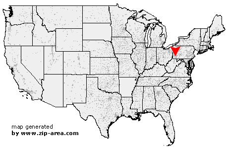
| State: | Pennsylvania |
| County: | Washington |
| Area code: | 724 |
| FIPS code: | 42125 |
| Time zone: | EST |
| ZIP code: | 15477 |
|
calculate distance to another city

|
|
 Using the left mouse click, select the desired location on the map and you will receive a list of cities in the surrounding area. (Embed this map on your website.) |
Add the following HTML-code to your website: <a href="http://www.zip-area.com/pennsylvania/roscoe/" target="_blank"><img src="http://www.zip-area.com/pennsylvania/images/map_roscoe.png" alt="Roscoe"></a> |
Cities close to Roscoe |
|
| Bentleyville (7.86 mi) | Millsboro (9.32 mi) |
| Richeyville (7.03 mi) | East Millsboro (9.23 mi) |
| Vestaburg (7.89 mi) | Rices Landing (11.17 mi) |
| Daisytown (6.06 mi) | Van Voorhis (7.90 mi) |
| Crucible (10.42 mi) | Brownsville (5.67 mi) |
| New Eagle (9.97 mi) | La Belle (8.94 mi) |
| Charleroi (6.08 mi) | Isabella (10.04 mi) |
| Monongahela (8.24 mi) | Denbo (5.76 mi) |
| California (2.73 mi) | Republic (8.65 mi) |
| Hiller (5.14 mi) | Newell (1.78 mi) |
| Monessen (5.11 mi) | Elco (0.91 mi) |
| Coal Center (1.60 mi) | Allison (5.82 mi) |
| Cardale (8.40 mi) | Merrittstown (7.91 mi) |
| Roscoe (0.00 mi) | Donora (6.92 mi) |
| Allenport (1.14 mi) | Pricedale (4.30 mi) |
| Stockdale (0.78 mi) | Dunlevy (2.30 mi) |
| Fairbank (9.37 mi) | Webster (7.43 mi) |
| Grindstone (4.62 mi) | Fayette City (2.11 mi) |
| Brier Hill (7.03 mi) | Belle Vernon (5.90 mi) |
| Chestnut Ridge (7.44 mi) | New Salem (9.68 mi) |
| Keisterville (9.17 mi) | Waltersburg (7.80 mi) |
| Wickhaven (5.76 mi) | Smock (8.08 mi) |
| Star Junction (5.80 mi) | Perryopolis (5.99 mi) |
| Jacobs Creek (7.55 mi) | West Newton (10.81 mi) |