

Hacienda Heights
| Category: | City |
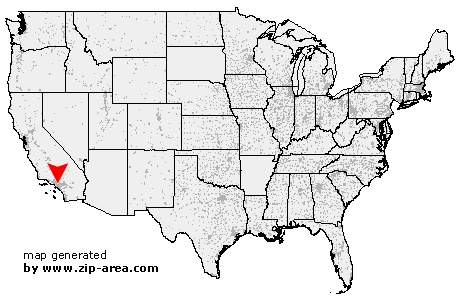
| State: | California |
| County: | Los Angeles |
| Area code: | 626 |
| FIPS code: | 06037 |
| Time zone: | PST |
| ZIP code: | 91745 |
|
calculate distance to another city

|
|
 Using the left mouse click, select the desired location on the map and you will receive a list of cities in the surrounding area. (Embed this map on your website.) |
Add the following HTML-code to your website: <a href="http://www.zip-area.com/california/hacienda_heights/" target="_blank"><img src="http://www.zip-area.com/california/images/map_hacienda_heights.png" alt="Hacienda Heights"></a> |
Cities close to Hacienda Heights |
|
| San Marino (11.80 mi) | Montebello (7.87 mi) |
| Pico Rivera (6.60 mi) | San Gabriel (10.49 mi) |
| Rosemead (7.77 mi) | Norwalk (8.62 mi) |
| Artesia (10.67 mi) | Cerritos (10.31 mi) |
| Santa Fe Springs (6.54 mi) | Temple City (8.61 mi) |
| South El Monte (5.61 mi) | Whittier (3.43 mi) |
| El Monte (6.50 mi) | Arcadia (10.28 mi) |
| La Mirada (7.08 mi) | Duarte (9.96 mi) |
| Hacienda Heights (0.00 mi) | Baldwin Park (6.82 mi) |
| City of Industry (1.96 mi) | La Habra (3.94 mi) |
| West Covina (5.38 mi) | La Puente (3.21 mi) |
| Azusa (9.98 mi) | Covina (8.08 mi) |
| Rowland Heights (4.36 mi) | Fullerton (9.24 mi) |
| Brea (7.54 mi) | Walnut (6.59 mi) |
| Placentia (10.55 mi) | Glendora (11.01 mi) |