

Glendora
| Category: | City |
| State: | New Jersey |
| County: | Camden |
| Area code: | 856 |
| FIPS code: | 34007 |
| Time zone: | EST |
| ZIP code: | 08029 |
|
calculate distance to another city

|
|
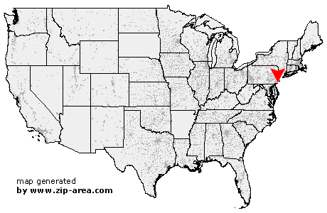 Using the left mouse click, select the desired location on the map and you will receive a list of cities in the surrounding area. (Embed this map on your website.) |
Add the following HTML-code to your website: <a href="http://www.zip-area.com/new_jersey/glendora/" target="_blank"><img src="http://www.zip-area.com/new_jersey/images/map_glendora.png" alt="Glendora"></a> |
Cities close to Glendora |
|
| Mount Royal (7.68 mi) | Paulsboro (7.37 mi) |
| Thorofare (6.39 mi) | Ewan (11.60 mi) |
| Mantua (7.21 mi) | National Park (6.29 mi) |
| Richwood (9.61 mi) | Woodbury Heights (4.69 mi) |
| Wenonah (4.96 mi) | Westville (3.82 mi) |
| Pitman (7.95 mi) | Woodbury (3.28 mi) |
| Camden (6.54 mi) | Glassboro (10.06 mi) |
| Gloucester City (4.25 mi) | Sewell (6.19 mi) |
| Bellmawr (2.28 mi) | Mount Ephraim (3.11 mi) |
| Oaklyn (4.77 mi) | Runnemede (0.94 mi) |
| Audubon (3.54 mi) | Glendora (0.00 mi) |
| Haddon Heights (2.70 mi) | Grenloch (4.01 mi) |
| Collingswood (5.21 mi) | Blackwood (4.33 mi) |
| Barrington (1.84 mi) | Merchantville (7.67 mi) |
| Pennsauken (9.40 mi) | Haddonfield (4.02 mi) |
| Magnolia (1.86 mi) | Somerdale (1.96 mi) |
| Lawnside (2.78 mi) | Cherry Hill (6.72 mi) |
| Stratford (2.90 mi) | Clementon (4.35 mi) |
| Maple Shade (8.65 mi) | Sicklerville (8.76 mi) |
| Gibbsboro (5.47 mi) | Voorhees (6.11 mi) |
| West Berlin (6.94 mi) | Moorestown (11.68 mi) |
| Berlin (9.03 mi) | |