

Mount Royal
| Category: | City |
| State: | New Jersey |
| County: | Gloucester |
| Area code: | 856 |
| FIPS code: | 34015 |
| Time zone: | EST |
| ZIP code: | 08061 |
|
calculate distance to another city

|
|
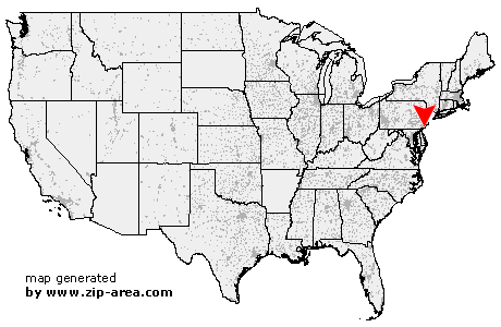 Using the left mouse click, select the desired location on the map and you will receive a list of cities in the surrounding area. (Embed this map on your website.) |
Add the following HTML-code to your website: <a href="http://www.zip-area.com/new_jersey/mount_royal/" target="_blank"><img src="http://www.zip-area.com/new_jersey/images/map_mount_royal.png" alt="Mount Royal"></a> |
Cities close to Mount Royal |
|
| Woodlyn (8.61 mi) | Swarthmore (9.49 mi) |
| Springfield (11.02 mi) | Bridgeport (7.06 mi) |
| Crum Lynne (7.96 mi) | Swedesboro (7.65 mi) |
| Folsom (8.45 mi) | Morton (9.02 mi) |
| Ridley Park (7.47 mi) | Holmes (8.15 mi) |
| Prospect Park (7.37 mi) | Drexel Hill (10.87 mi) |
| Clifton Heights (9.09 mi) | Norwood (7.00 mi) |
| Glenolden (7.80 mi) | Philadelphia (5.58 mi) |
| Gibbstown (4.13 mi) | Folcroft (6.67 mi) |
| Essington (5.13 mi) | Darby (7.96 mi) |
| Harrisonville (9.24 mi) | Sharon Hill (6.76 mi) |
| Lansdowne (9.20 mi) | Mickleton (2.92 mi) |
| Mullica Hill (6.50 mi) | Clarksboro (1.01 mi) |
| Mount Royal (0.00 mi) | Paulsboro (1.49 mi) |
| Thorofare (3.21 mi) | Ewan (7.84 mi) |
| Mantua (2.16 mi) | National Park (3.97 mi) |
| Richwood (6.50 mi) | Woodbury Heights (3.07 mi) |
| Wenonah (3.60 mi) | Westville (5.23 mi) |
| Pitman (6.51 mi) | Woodbury (4.41 mi) |
| Camden (9.20 mi) | Glassboro (9.04 mi) |
| Gloucester City (7.20 mi) | Sewell (6.47 mi) |
| Bellmawr (7.22 mi) | Mount Ephraim (7.84 mi) |
| Oaklyn (9.40 mi) | Runnemede (7.52 mi) |
| Audubon (9.02 mi) | Glendora (7.68 mi) |
| Haddon Heights (8.94 mi) | |