

Woodbury Heights
| Category: | City |
| State: | New Jersey |
| County: | Gloucester |
| Area code: | 856 |
| FIPS code: | 34015 |
| Time zone: | EST |
| ZIP code: | 08097 |
|
calculate distance to another city

|
|
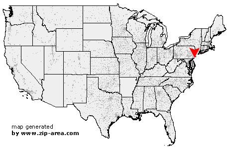 Using the left mouse click, select the desired location on the map and you will receive a list of cities in the surrounding area. (Embed this map on your website.) |
Add the following HTML-code to your website: <a href="http://www.zip-area.com/new_jersey/woodbury_heights/" target="_blank"><img src="http://www.zip-area.com/new_jersey/images/map_woodbury_heights.png" alt="Woodbury Heights"></a> |
Cities close to Woodbury Heights |
|
| Glenolden (9.72 mi) | Philadelphia (7.95 mi) |
| Gibbstown (7.11 mi) | Folcroft (8.61 mi) |
| Essington (7.34 mi) | Darby (9.40 mi) |
| Harrisonville (10.88 mi) | Sharon Hill (8.43 mi) |
| Lansdowne (10.38 mi) | Mickleton (5.71 mi) |
| Mullica Hill (7.74 mi) | Clarksboro (3.84 mi) |
| Mount Royal (3.07 mi) | Paulsboro (3.24 mi) |
| Thorofare (3.38 mi) | Ewan (8.24 mi) |
| Mantua (2.69 mi) | National Park (3.86 mi) |
| Richwood (6.41 mi) | Woodbury Heights (0.00 mi) |
| Wenonah (1.31 mi) | Westville (3.34 mi) |
| Pitman (5.49 mi) | Woodbury (1.46 mi) |
| Camden (7.84 mi) | Glassboro (8.13 mi) |
| Gloucester City (5.39 mi) | Sewell (4.60 mi) |
| Bellmawr (4.72 mi) | Mount Ephraim (5.54 mi) |
| Oaklyn (7.34 mi) | Runnemede (4.67 mi) |
| Audubon (6.66 mi) | Glendora (4.69 mi) |
| Haddon Heights (6.35 mi) | Grenloch (5.20 mi) |
| Collingswood (8.39 mi) | Blackwood (5.65 mi) |
| Barrington (6.17 mi) | Merchantville (10.75 mi) |
| Haddonfield (8.04 mi) | Magnolia (6.54 mi) |
| Somerdale (6.57 mi) | Lawnside (7.36 mi) |
| Cherry Hill (10.46 mi) | Stratford (7.22 mi) |