

Folsom
| Category: | City |
| State: | Pennsylvania |
| County: | Delaware |
| Area code: | 610 |
| FIPS code: | 42045 |
| Time zone: | EST |
| ZIP code: | 19033 |
|
calculate distance to another city

|
|
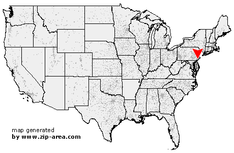 Using the left mouse click, select the desired location on the map and you will receive a list of cities in the surrounding area. (Embed this map on your website.) |
Add the following HTML-code to your website: <a href="http://www.zip-area.com/pennsylvania/folsom/" target="_blank"><img src="http://www.zip-area.com/pennsylvania/images/map_folsom.png" alt="Folsom"></a> |
Cities close to Folsom |
|
| Chester Heights (7.62 mi) | Gradyville (8.29 mi) |
| Marcus Hook (8.12 mi) | Claymont (9.14 mi) |
| Edgemont (8.65 mi) | Berwyn (11.64 mi) |
| Lenni (6.35 mi) | Newtown Square (8.37 mi) |
| Aston (5.93 mi) | Media (5.17 mi) |
| Brookhaven (3.73 mi) | Glen Riddle Lima (3.62 mi) |
| Chester (3.92 mi) | Wallingford (2.21 mi) |
| Broomall (5.96 mi) | Woodlyn (1.46 mi) |
| Swarthmore (1.06 mi) | Springfield (3.00 mi) |
| Bridgeport (5.98 mi) | Crum Lynne (1.92 mi) |
| Swedesboro (9.27 mi) | Bryn Mawr (9.09 mi) |
| Folsom (0.00 mi) | Morton (1.08 mi) |
| Ridley Park (1.19 mi) | Haverford (8.10 mi) |
| Havertown (6.01 mi) | Holmes (1.24 mi) |
| Prospect Park (1.19 mi) | Drexel Hill (4.28 mi) |
| Ardmore (7.82 mi) | Clifton Heights (2.71 mi) |
| Norwood (1.75 mi) | Glenolden (2.05 mi) |
| Philadelphia (2.89 mi) | Gibbstown (5.12 mi) |
| Folcroft (2.63 mi) | Wynnewood (7.90 mi) |
| Essington (3.48 mi) | Upper Darby (5.69 mi) |
| Darby (3.68 mi) | Sharon Hill (3.32 mi) |
| Lansdowne (4.69 mi) | Narberth (9.90 mi) |
| Mickleton (8.49 mi) | Merion Station (8.76 mi) |
| Bala Cynwyd (9.96 mi) | Clarksboro (8.54 mi) |
| Mount Royal (8.45 mi) | Paulsboro (7.61 mi) |
| Thorofare (7.90 mi) | Mantua (10.56 mi) |