

Gibbstown
| Category: | City |
| State: | New Jersey |
| County: | Gloucester |
| Area code: | 856 |
| FIPS code: | 34015 |
| Time zone: | EST |
| ZIP code: | 08027 |
|
calculate distance to another city

|
|
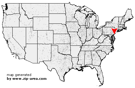 Using the left mouse click, select the desired location on the map and you will receive a list of cities in the surrounding area. (Embed this map on your website.) |
Add the following HTML-code to your website: <a href="http://www.zip-area.com/new_jersey/gibbstown/" target="_blank"><img src="http://www.zip-area.com/new_jersey/images/map_gibbstown.png" alt="Gibbstown"></a> |
Cities close to Gibbstown |
|
| Media (9.70 mi) | Pedricktown (9.32 mi) |
| Brookhaven (6.56 mi) | Glen Riddle Lima (8.39 mi) |
| Chester (5.01 mi) | Wallingford (6.40 mi) |
| Woodlyn (4.82 mi) | Swarthmore (6.02 mi) |
| Springfield (8.06 mi) | Bridgeport (3.35 mi) |
| Crum Lynne (4.07 mi) | Swedesboro (5.43 mi) |
| Folsom (5.12 mi) | Morton (5.99 mi) |
| Ridley Park (3.95 mi) | Holmes (5.33 mi) |
| Prospect Park (4.34 mi) | Drexel Hill (8.68 mi) |
| Clifton Heights (6.77 mi) | Norwood (4.27 mi) |
| Glenolden (5.38 mi) | Philadelphia (2.87 mi) |
| Gibbstown (0.00 mi) | Folcroft (4.52 mi) |
| Essington (3.02 mi) | Upper Darby (9.33 mi) |
| Darby (6.36 mi) | Harrisonville (9.75 mi) |
| Sharon Hill (5.09 mi) | Lansdowne (7.79 mi) |
| Mickleton (3.37 mi) | Mullica Hill (8.12 mi) |
| Clarksboro (3.81 mi) | Mount Royal (4.13 mi) |
| Paulsboro (4.10 mi) | Thorofare (5.49 mi) |
| Ewan (10.17 mi) | Mantua (5.94 mi) |
| National Park (6.02 mi) | Richwood (9.46 mi) |
| Woodbury Heights (7.11 mi) | Wenonah (7.73 mi) |