

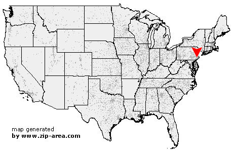
King of Prussia
| Category: | City |
| State: | Pennsylvania |
| County: | Montgomery |
| Area code: | 610 |
| FIPS code: | 42091 |
| Time zone: | EST |
| ZIP code: | 19406 |
|
calculate distance to another city

|
|
 Using the left mouse click, select the desired location on the map and you will receive a list of cities in the surrounding area. (Embed this map on your website.) |
Add the following HTML-code to your website: <a href="http://www.zip-area.com/pennsylvania/king_of_prussia/" target="_blank"><img src="http://www.zip-area.com/pennsylvania/images/map_king_of_prussia.png" alt="King of Prussia"></a> |
Cities close to King of Prussia |
|
| Southeastern (10.20 mi) | Mont Clare (6.17 mi) |
| Paoli (6.36 mi) | King of Prussia (5.24 mi) |
| Norristown (5.10 mi) | Valley Forge (4.98 mi) |
| Oaks (4.93 mi) | Arcola (5.71 mi) |
| Edgemont (9.08 mi) | Berwyn (5.63 mi) |
| Audubon (3.77 mi) | Collegeville (7.31 mi) |
| Newtown Square (8.49 mi) | Devon (4.38 mi) |
| Creamery (8.91 mi) | Valley Forge (2.12 mi) |
| Eagleville (4.55 mi) | Skippack (8.91 mi) |
| Wayne (3.53 mi) | Fairview Village (4.40 mi) |
| King of Prussia (0.00 mi) | Cedars (8.19 mi) |
| Broomall (8.39 mi) | Villanova (4.23 mi) |
| Worcester (7.58 mi) | Bridgeport (2.22 mi) |
| Bryn Mawr (5.62 mi) | Norristown (3.90 mi) |
| Haverford (6.94 mi) | Havertown (8.87 mi) |
| Drexel Hill (10.75 mi) | West Point (8.83 mi) |
| Lansdale (10.33 mi) | Ardmore (7.68 mi) |
| Conshohocken (4.68 mi) | Gladwyne (6.06 mi) |
| Blue Bell (6.88 mi) | Wynnewood (8.72 mi) |
| Plymouth Meeting (5.88 mi) | Upper Darby (10.94 mi) |
| Lafayette Hill (6.36 mi) | Narberth (8.10 mi) |
| Gwynedd Valley (9.03 mi) | Merion Station (9.40 mi) |
| North Wales (11.50 mi) | Gwynedd (10.59 mi) |