

Mont Clare
| Category: | City |
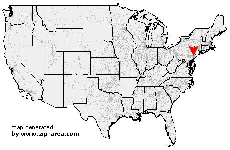
| State: | Pennsylvania |
| County: | Montgomery |
| Area code: | 610 |
| FIPS code: | 42091 |
| Time zone: | EST |
| ZIP code: | 19453 |
|
calculate distance to another city

|
|
 Using the left mouse click, select the desired location on the map and you will receive a list of cities in the surrounding area. (Embed this map on your website.) |
Add the following HTML-code to your website: <a href="http://www.zip-area.com/pennsylvania/mont_clare/" target="_blank"><img src="http://www.zip-area.com/pennsylvania/images/map_mont_clare.png" alt="Mont Clare"></a> |
Cities close to Mont Clare |
|
| Birchrunville (7.14 mi) | Lionville (9.69 mi) |
| Pottstown (11.57 mi) | West Chester (11.65 mi) |
| Spring City (6.47 mi) | Parker Ford (7.90 mi) |
| Kimberton (4.42 mi) | Immaculata (7.45 mi) |
| Phoenixville (2.67 mi) | Devault (4.30 mi) |
| Malvern (6.00 mi) | Royersford (5.79 mi) |
| Southeastern (9.78 mi) | Schwenksville (9.15 mi) |
| Mont Clare (0.00 mi) | Paoli (5.77 mi) |
| King of Prussia (1.73 mi) | Norristown (1.61 mi) |
| Valley Forge (2.47 mi) | Oaks (1.60 mi) |
| Arcola (2.53 mi) | Berwyn (6.84 mi) |
| Audubon (2.41 mi) | Collegeville (5.19 mi) |
| Devon (6.91 mi) | Creamery (7.56 mi) |
| Valley Forge (5.04 mi) | Eagleville (4.51 mi) |
| Lederach (10.35 mi) | Skippack (8.18 mi) |
| Harleysville (11.01 mi) | Wayne (7.83 mi) |
| Fairview Village (5.81 mi) | King of Prussia (6.17 mi) |
| Cedars (8.73 mi) | Mainland (11.39 mi) |
| Villanova (9.55 mi) | Worcester (9.13 mi) |