

Paoli
| Category: | City |
| State: | Pennsylvania |
| County: | Chester |
| Area code: | 610 |
| FIPS code: | 42029 |
| Time zone: | EST |
| ZIP code: | 19301 |
|
calculate distance to another city

|
|
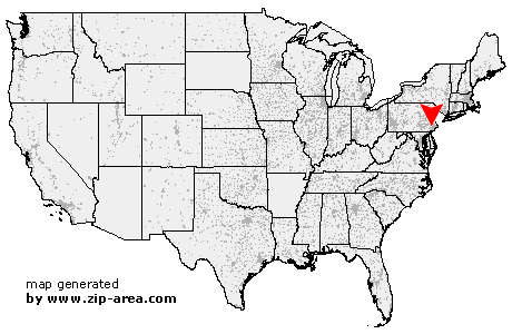 Using the left mouse click, select the desired location on the map and you will receive a list of cities in the surrounding area. (Embed this map on your website.) |
Add the following HTML-code to your website: <a href="http://www.zip-area.com/pennsylvania/paoli/" target="_blank"><img src="http://www.zip-area.com/pennsylvania/images/map_paoli.png" alt="Paoli"></a> |
Cities close to Paoli |
|
| Birchrunville (9.78 mi) | Lionville (7.54 mi) |
| West Chester (7.91 mi) | Spring City (10.72 mi) |
| Kimberton (7.81 mi) | Westtown (8.65 mi) |
| Immaculata (3.69 mi) | Phoenixville (6.32 mi) |
| Devault (3.80 mi) | Thornton (10.18 mi) |
| Malvern (2.86 mi) | Cheyney (8.66 mi) |
| Southeastern (4.29 mi) | Glen Mills (10.11 mi) |
| Mont Clare (5.77 mi) | Paoli (0.00 mi) |
| King of Prussia (4.12 mi) | Norristown (4.32 mi) |
| Valley Forge (3.42 mi) | Gradyville (6.90 mi) |
| Oaks (6.20 mi) | Arcola (7.69 mi) |
| Edgemont (4.98 mi) | Berwyn (1.80 mi) |
| Audubon (5.37 mi) | Newtown Square (4.94 mi) |
| Devon (3.03 mi) | Media (9.06 mi) |
| Valley Forge (4.26 mi) | Eagleville (8.53 mi) |
| Glen Riddle Lima (9.99 mi) | Wayne (4.87 mi) |
| Fairview Village (9.32 mi) | King of Prussia (6.36 mi) |
| Broomall (7.91 mi) | Villanova (6.84 mi) |
| Swarthmore (12.25 mi) | Springfield (10.54 mi) |
| Bridgeport (8.50 mi) | |