

Grethel
| Category: | City |
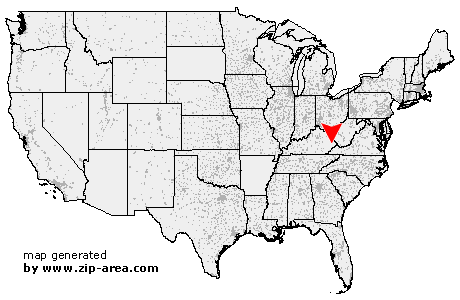
| State: | Kentucky |
| County: | Floyd |
| Area code: | 606 |
| FIPS code: | 21071 |
| Time zone: | EST |
| ZIP code: | 41631 |
|
calculate distance to another city

|
|
 Using the left mouse click, select the desired location on the map and you will receive a list of cities in the surrounding area. (Embed this map on your website.) |
Add the following HTML-code to your website: <a href="http://www.zip-area.com/kentucky/grethel/" target="_blank"><img src="http://www.zip-area.com/kentucky/images/map_grethel.png" alt="Grethel"></a> |
Cities close to Grethel |
|
| Mallie (12.11 mi) | Garrett (6.93 mi) |
| Dema (6.70 mi) | Hueysville (6.81 mi) |
| Eastern (7.68 mi) | Pippa Passes (8.62 mi) |
| Raven (6.00 mi) | Wayland (4.28 mi) |
| Langley (7.19 mi) | Lackey (3.90 mi) |
| Topmost (7.54 mi) | Martin (6.42 mi) |
| Minnie (1.90 mi) | Drift (1.90 mi) |
| Mc Dowell (1.99 mi) | Grethel (0.00 mi) |
| Hi Hat (4.45 mi) | Wheelwright (8.49 mi) |
| Printer (3.94 mi) | Bevinsville (6.18 mi) |
| Banner (8.70 mi) | Melvin (7.56 mi) |
| Betsy Layne (6.22 mi) | Weeksbury (9.14 mi) |
| Beaver (6.28 mi) | Bypro (7.33 mi) |
| Dana (7.28 mi) | Stanville (8.88 mi) |
| Harold (5.05 mi) | Tram (9.45 mi) |
| Allen (10.58 mi) | Ivel (8.63 mi) |
| Teaberry (5.59 mi) | |