

Whitehouse
| Category: | City |
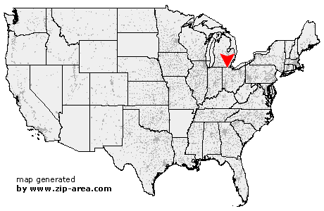
| State: | Ohio |
| County: | Lucas |
| Area code: | 419 |
| FIPS code: | 39095 |
| Time zone: | EST |
| ZIP code: | 43571 |
|
calculate distance to another city

|
|
 Using the left mouse click, select the desired location on the map and you will receive a list of cities in the surrounding area. (Embed this map on your website.) |
Add the following HTML-code to your website: <a href="http://www.zip-area.com/ohio/whitehouse/" target="_blank"><img src="http://www.zip-area.com/ohio/images/map_whitehouse.png" alt="Whitehouse"></a> |
Cities close to Whitehouse |
|
| Colton (7.58 mi) | Mc Clure (11.29 mi) |
| Neapolis (3.20 mi) | Swanton (6.04 mi) |
| Grand Rapids (8.11 mi) | Whitehouse (0.00 mi) |
| Monclova (4.65 mi) | Waterville (3.28 mi) |
| Holland (8.55 mi) | Tontogany (7.65 mi) |
| Haskins (6.56 mi) | Maumee (7.98 mi) |