

Bell Gardens
| Category: | City |
| State: | California |
| County: | Los Angeles |
| Area code: | 323 |
| FIPS code: | 06037 |
| Time zone: | PST |
| ZIP code: | 90202 |
|
calculate distance to another city

|
|
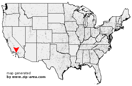 Using the left mouse click, select the desired location on the map and you will receive a list of cities in the surrounding area. (Embed this map on your website.) |
Add the following HTML-code to your website: <a href="http://www.zip-area.com/california/bell_gardens/" target="_blank"><img src="http://www.zip-area.com/california/images/map_bell_gardens.png" alt="Bell Gardens"></a> |
Cities close to Bell Gardens |
|
| Gardena (9.77 mi) | Carson (11.85 mi) |
| Los Angeles (5.58 mi) | Compton (7.69 mi) |
| Huntington Park (3.81 mi) | South Gate (3.09 mi) |
| Lynwood (4.00 mi) | Maywood (2.61 mi) |
| Bell (1.92 mi) | Paramount (4.84 mi) |
| South Pasadena (9.99 mi) | Bell Gardens (0.00 mi) |
| Lakewood (8.03 mi) | Monterey Park (5.92 mi) |
| Downey (2.11 mi) | Alhambra (8.74 mi) |
| Bellflower (5.56 mi) | Montebello (4.24 mi) |
| Pico Rivera (3.87 mi) | Rosemead (7.90 mi) |
| Norwalk (5.70 mi) | Artesia (7.88 mi) |
| Hawaiian Gardens (10.36 mi) | Cerritos (8.33 mi) |
| Santa Fe Springs (5.38 mi) | Temple City (10.91 mi) |
| South El Monte (8.01 mi) | La Palma (10.20 mi) |
| Whittier (7.36 mi) | El Monte (10.27 mi) |
| Buena Park (11.56 mi) | |