

Los Altos
| Category: | City |
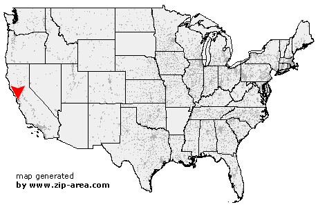
| State: | California |
| County: | Santa Clara |
| Area code: | 650 |
| FIPS code: | 06085 |
| Time zone: | PST |
| ZIP codes: | 94022, 94023, 94024 |
|
calculate distance to another city

|
|
 Using the left mouse click, select the desired location on the map and you will receive a list of cities in the surrounding area. (Embed this map on your website.) |
Add the following HTML-code to your website: <a href="http://www.zip-area.com/california/los_altos/" target="_blank"><img src="http://www.zip-area.com/california/images/map_los_altos.png" alt="Los Altos"></a> |
Cities close to Los Altos |
|
| San Carlos (11.13 mi) | Loma Mar (9.80 mi) |
| La Honda (6.74 mi) | Portola Valley (3.40 mi) |
| Atherton (6.48 mi) | Menlo Park (6.02 mi) |
| Stanford (3.44 mi) | Los Altos (0.00 mi) |
| Palo Alto (5.19 mi) | Palo Alto (5.57 mi) |
| Cupertino (5.45 mi) | Mountain View (6.08 mi) |
| Saratoga (9.80 mi) | Sunnyvale (7.63 mi) |