

Rescue
| Category: | City |
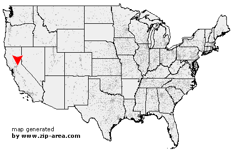
| State: | California |
| County: | El Dorado |
| Area code: | 530 |
| FIPS code: | 06017 |
| Time zone: | PST |
| ZIP code: | 95672 |
|
calculate distance to another city

|
|
 Using the left mouse click, select the desired location on the map and you will receive a list of cities in the surrounding area. (Embed this map on your website.) |
Add the following HTML-code to your website: <a href="http://www.zip-area.com/california/rescue/" target="_blank"><img src="http://www.zip-area.com/california/images/map_rescue.png" alt="Rescue"></a> |
Cities close to Rescue |
|
| Folsom (8.96 mi) | El Dorado Hills (4.11 mi) |
| Pilot Hill (6.05 mi) | Rescue (0.00 mi) |
| Shingle Springs (7.59 mi) | Lotus (7.99 mi) |
| Coloma (7.59 mi) | |