

Roseville
| Category: | City |
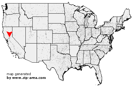
| State: | California |
| County: | Placer |
| Area code: | 916 |
| FIPS code: | 06061 |
| Time zone: | PST |
| ZIP codes: | 95661, 95678, 95747 |
|
calculate distance to another city

|
|
 Using the left mouse click, select the desired location on the map and you will receive a list of cities in the surrounding area. (Embed this map on your website.) |
Add the following HTML-code to your website: <a href="http://www.zip-area.com/california/roseville/" target="_blank"><img src="http://www.zip-area.com/california/images/map_roseville.png" alt="Roseville"></a> |
Cities close to Roseville |
|
| North Highlands (9.05 mi) | McClellan (9.00 mi) |
| Antelope (6.47 mi) | Carmichael (8.96 mi) |
| Citrus Heights (3.31 mi) | Fair Oaks (6.05 mi) |
| Rocklin (4.28 mi) | Roseville (0.00 mi) |
| Orangevale (3.81 mi) | Penryn (8.66 mi) |
| Granite Bay (3.11 mi) | Loomis (6.52 mi) |
| Newcastle (11.00 mi) | Represa (7.00 mi) |
| Folsom (7.76 mi) | |