

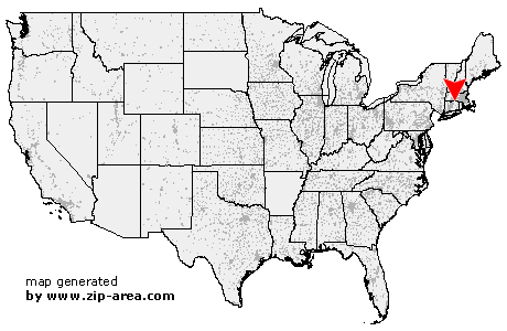
Stafford
| Category: | City |
| State: | Connecticut |
| County: | Tolland |
| Area code: | 860 |
| FIPS code: | 09013 |
| Time zone: | EST |
| ZIP code: | 06075 |
|
calculate distance to another city

|
|
 Using the left mouse click, select the desired location on the map and you will receive a list of cities in the surrounding area. (Embed this map on your website.) |
Add the following HTML-code to your website: <a href="http://www.zip-area.com/connecticut/stafford/" target="_blank"><img src="http://www.zip-area.com/connecticut/images/map_stafford.png" alt="Stafford"></a> |
Cities close to Stafford |
|
| Wilbraham (12.20 mi) | Hampden (8.46 mi) |
| Tolland (8.25 mi) | Monson (7.40 mi) |
| South Willington (8.89 mi) | Stafford (0.00 mi) |
| Willington (7.06 mi) | Staffordville (1.67 mi) |
| Stafford Springs (1.58 mi) | Wales (6.59 mi) |
| Brimfield (10.42 mi) | Ashford (9.02 mi) |
| Holland (8.21 mi) | |