

Glendale Heights
| Category: | City |
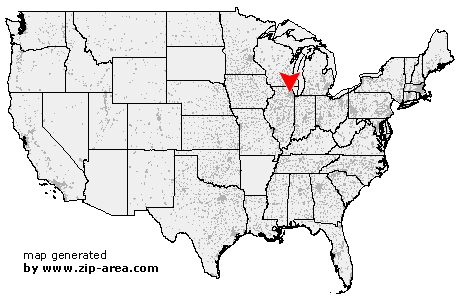
| State: | Illinois |
| County: | Du Page |
| Area code: | 630 |
| FIPS code: | 17043 |
| Time zone: | CST |
| ZIP code: | 60139 |
|
calculate distance to another city

|
|
 Using the left mouse click, select the desired location on the map and you will receive a list of cities in the surrounding area. (Embed this map on your website.) |
Add the following HTML-code to your website: <a href="http://www.zip-area.com/illinois/glendale_heights/" target="_blank"><img src="http://www.zip-area.com/illinois/images/map_glendale_heights.png" alt="Glendale Heights"></a> |
Cities close to Glendale Heights |
|
| West Chicago (6.99 mi) | Bartlett (7.10 mi) |
| Streamwood (8.56 mi) | Winfield (5.31 mi) |
| Hanover Park (4.82 mi) | Carol Stream (2.83 mi) |
| Wheaton (4.88 mi) | Roselle (4.11 mi) |
| Bloomingdale (2.14 mi) | Schaumburg (7.79 mi) |
| Lisle (9.04 mi) | Glendale Heights (0.00 mi) |
| Hoffman Estates (8.44 mi) | Glen Ellyn (4.52 mi) |
| Medinah (4.01 mi) | Downers Grove (8.27 mi) |
| Itasca (4.96 mi) | Lombard (4.57 mi) |
| Addison (3.68 mi) | Elk Grove Village (7.72 mi) |
| Wood Dale (5.99 mi) | Westmont (10.18 mi) |
| Villa Park (6.08 mi) | Clarendon Hills (10.70 mi) |
| Bensenville (7.47 mi) | Elmhurst (7.51 mi) |
| Oak Brook (11.94 mi) | |