

Robbins
| Category: | City |
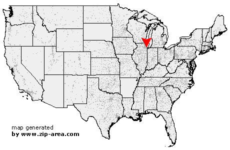
| State: | Illinois |
| County: | Cook |
| Area code: | 708 |
| FIPS code: | 17031 |
| Time zone: | CST |
| ZIP code: | 60472 |
|
calculate distance to another city

|
|
 Using the left mouse click, select the desired location on the map and you will receive a list of cities in the surrounding area. (Embed this map on your website.) |
Add the following HTML-code to your website: <a href="http://www.zip-area.com/illinois/robbins/" target="_blank"><img src="http://www.zip-area.com/illinois/images/map_robbins.png" alt="Robbins"></a> |
Cities close to Robbins |
|
| Justice (9.77 mi) | Hickory Hills (8.37 mi) |
| Summit Argo (10.87 mi) | Bridgeview (8.31 mi) |
| Tinley Park (6.83 mi) | Palos Heights (4.23 mi) |
| Chicago Ridge (5.37 mi) | Worth (4.46 mi) |
| Burbank (7.55 mi) | Oak Forest (3.48 mi) |
| Oak Lawn (5.22 mi) | Matteson (9.67 mi) |
| Midlothian (1.58 mi) | Bedford Park (7.50 mi) |
| Alsip (2.16 mi) | Hometown (6.09 mi) |
| Country Club Hills (5.93 mi) | Robbins (0.00 mi) |
| Evergreen Park (5.36 mi) | Olympia Fields (8.78 mi) |
| Posen (1.66 mi) | Markham (3.48 mi) |
| Blue Island (1.90 mi) | Flossmoor (7.38 mi) |
| Hazel Crest (5.01 mi) | Homewood (6.42 mi) |
| Harvey (3.83 mi) | Riverdale (4.60 mi) |
| Glenwood (8.82 mi) | Thornton (7.59 mi) |
| South Holland (6.52 mi) | Dolton (5.91 mi) |
| Chicago Heights (11.40 mi) | |