

Rolling Meadows
| Category: | City |
| State: | Illinois |
| County: | Cook |
| Area code: | 847 |
| FIPS code: | 17031 |
| Time zone: | CST |
| ZIP code: | 60008 |
|
calculate distance to another city

|
|
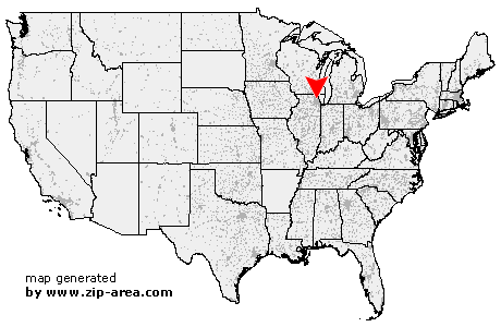 Using the left mouse click, select the desired location on the map and you will receive a list of cities in the surrounding area. (Embed this map on your website.) |
Add the following HTML-code to your website: <a href="http://www.zip-area.com/illinois/rolling_meadows/" target="_blank"><img src="http://www.zip-area.com/illinois/images/map_rolling_meadows.png" alt="Rolling Meadows"></a> |
Cities close to Rolling Meadows |
|
| Barrington (9.20 mi) | Hanover Park (8.93 mi) |
| Roselle (7.32 mi) | Bloomingdale (8.93 mi) |
| Schaumburg (4.11 mi) | Hoffman Estates (3.56 mi) |
| Lake Zurich (9.16 mi) | Medinah (6.89 mi) |
| Rolling Meadows (0.00 mi) | Itasca (6.58 mi) |
| Palatine (1.92 mi) | Addison (9.61 mi) |
| Long Grove (7.62 mi) | Elk Grove Village (4.13 mi) |
| Wood Dale (7.59 mi) | Arlington Heights (3.59 mi) |
| Buffalo Grove (7.05 mi) | Bensenville (8.74 mi) |
| Mount Prospect (4.46 mi) | Lincolnshire (9.70 mi) |
| Prospect Heights (5.23 mi) | Wheeling (6.62 mi) |
| AMF O'Hare (8.66 mi) | Des Plaines (6.81 mi) |
| Franklin Park (11.56 mi) | Deerfield (10.22 mi) |